GIS-Based mapping
Using PGIS to understand health and well-being in urban Kenya: the case of Nakuru
What does a healthy and liveable city look like? This case study shows how Participatory GIS has been used with residents of the city of Nakuru, Kenya to find out.
Using PGIS to understand health and well-being in urban Thailand: the case of Udon Thani
What does a healthy and liveable city look like? This case study shows how Participatory GIS has been used with residents of the Northern Thailand city of Udon Thani to find out.
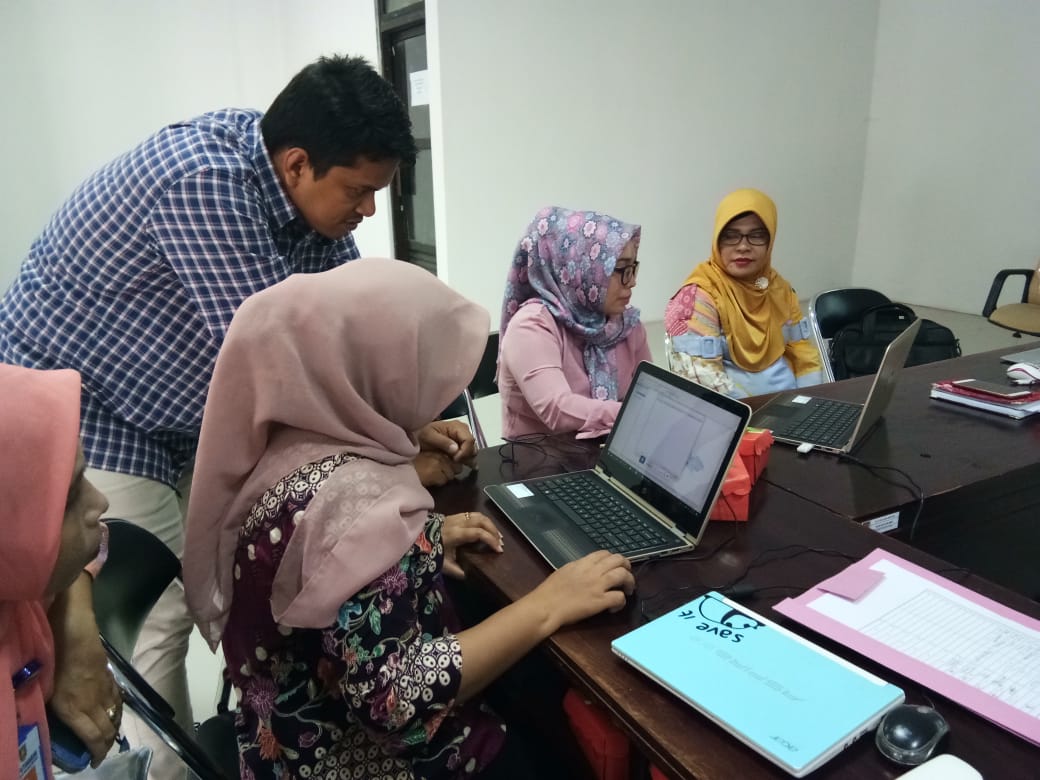
Using GIS for disease mapping in Ambon City
Adaptation plans for the health sector required public access to data about malaria and dengue risk but staff lacked mapping skills. Training in GIS mapping proved successful in Ambon City
GIS-based mapping of flood vulnerability and risk in the Bénin Niger River valley
In recent decades, flood disaster is threatening human security in West Africa, particularly in the Niger River basin.The study addresses flood vulnerability and risk in the Bénin Niger River Valley