interactive mapping visualisation tool
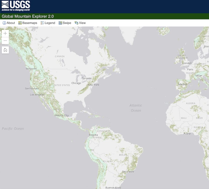
The Global Mountain Explorer
"What is a mountain?" and "Where are the mountains of the world?". Learn more with the Global Mountain Explorer!
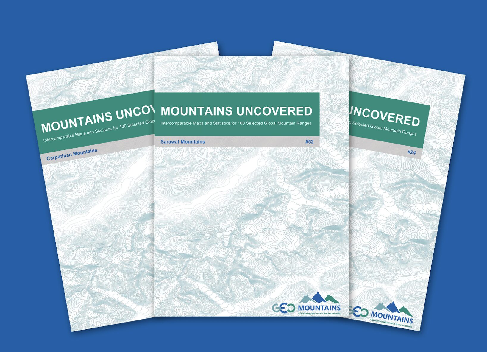
The Mountains Uncovered Series: Intercomparable Maps and Statistics for 100 Selected Global Mountain Ranges
Explore an easily understandable overview of the key characteristics of 100 selected mountain ranges around the world.
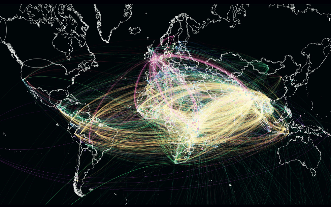
Visualizing connections: Mapping the landscape of adaptation research and practice through weADAPT
This working paper describes a collaborative project to visually map climate change adaptation research and networks based on semantic tagging in weADAPT.