Remote sensing
GEO Mountains General Inventory
Explore a list of gridded datasets, data portals, and tools / software that could be useful for mountain applications.
Mountain observations: Monitoring, data, and information for science, policy, and society
Explore this easy-to-read overview of the current state of multi-disciplinary mountain observations. Discover the different methods used to observe mountain environments, as well as the diversity of knowledge and data sources available to learn from.
Toward a definition of Essential Mountain Climate Variables
This article introduces Essential Mountain Climate Variables (EMCVs) which could be used to increase the utility of mountainous environmental data to both fundamental science and decision making.
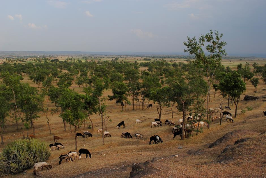
Identifying hotspots in land use land cover change and the drivers in a semi-arid region of India
This paper used satellite images and data to identify areas in semi-arid India that have experienced land use and land cover changes over the last 3 decades and explores their potential drivers
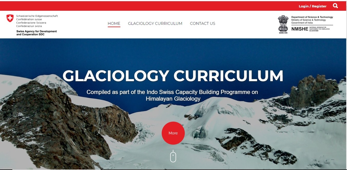
Glaciology Curriculum
The Glaciology Curriculum provides access to 19 modules covering various aspects of glaciology, including the impacts of changing climate on glacier behavior and glacier hazards.
Google Earth Plugin Requirements
In addition to the basic requirements, here are a few tips that will make using the Google Earth Plug-in a bit easier.
How do I find latitude and longitude for the location of my case study?
Guide to finding the latitude and longitude for the location of your case study.
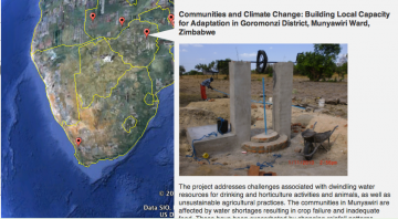
The weADAPT Adaptation Layer for Google Earth
Working with Google Foundation the prototype has been redesigned to be an integral part of the weADAPT platform for climate change adaptation.
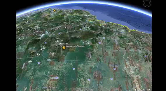
Google Earth Applications in California – Improving dissemination of climate adaptation information
This page provides access to applications in Google Earth and google maps that have been developed for the project working on climate change science, impacts and adaptation in California.