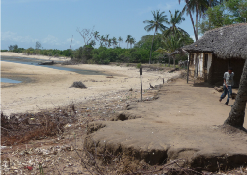
Bagamoyo District
Step-by-step guide: Using climate information to support adaptation planning and policy-making
Guidance on how to quickly and easily access climate data for many locations across Africa, using an interactive map.
Using climate information to support adaptation planning and policy-making: A practical case study in Bagamoyo District, coastal Tanzania.
This case study in Bagamoyo District, Tanzania, highlights how climate information can be used to support adaptation planning and policy-making in the rural agricultral sector.

