Geographic information systems
Participatory Geographic Information Systems (PGIS) for Urban Environmental Assessments
This tool enables you to use maps as discussion tools for allowing different groups to share their knowledge of environmental issues and development options, helping to enhance understanding and improve decision making and outcomes.
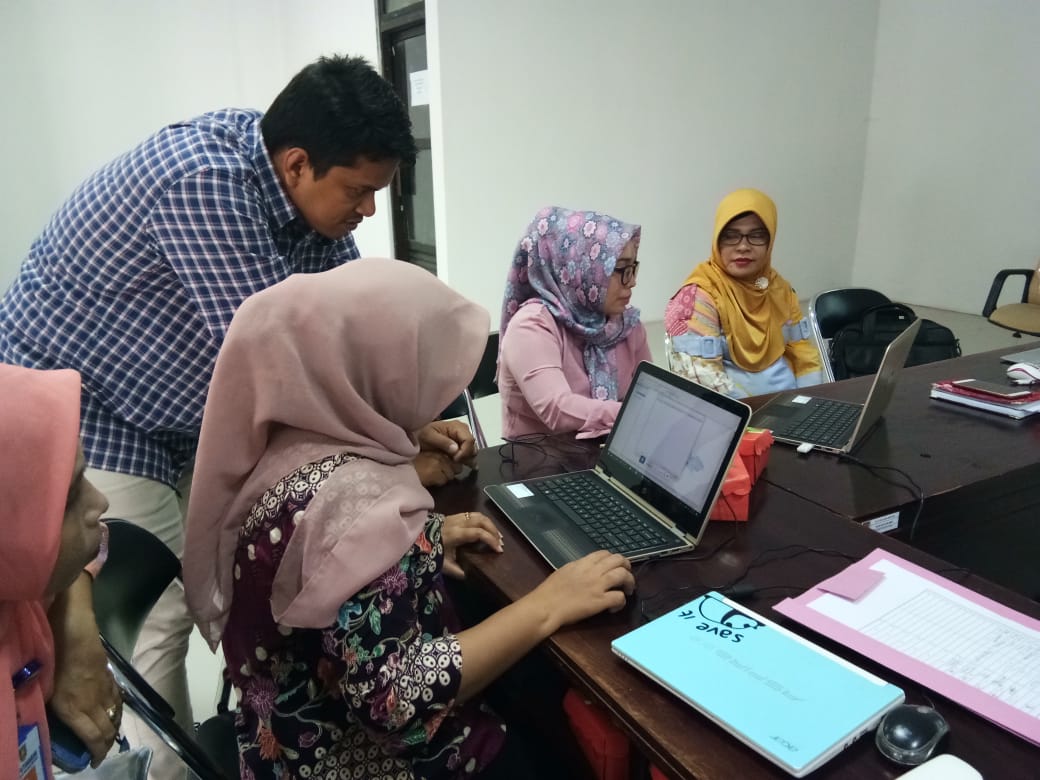
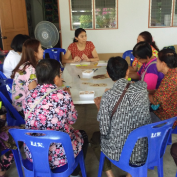
Using GIS for disease mapping in Ambon City
Adaptation plans for the health sector required public access to data about malaria and dengue risk but staff lacked mapping skills. Training in GIS mapping proved successful in Ambon City
Participatory 3-Dimensional Modelling: Guiding Principles and Applications
Participatory 3D modelling (P3DM) is a participatory mapping method integrating indigenous spatial knowledge with elevation data to produce stand-alone, scaled, and geo-referenced 3D models.
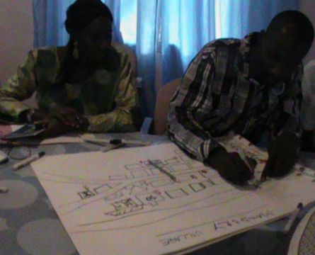
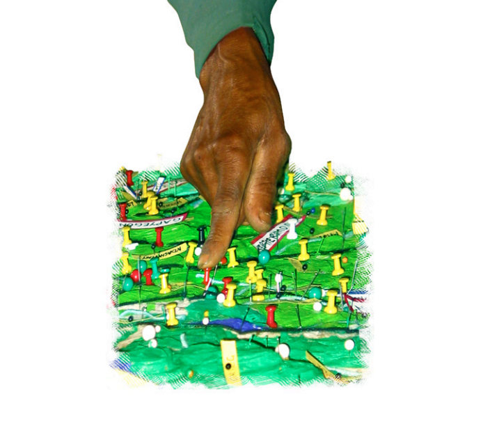
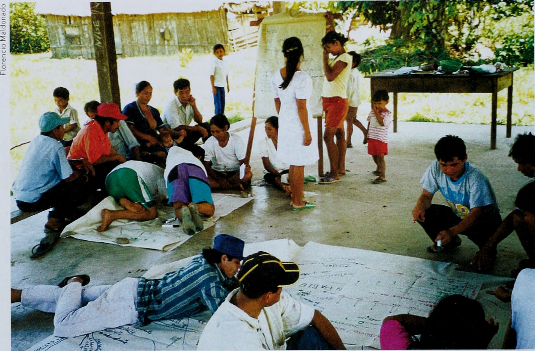
Resource Mapping Tool
Describing the resource mapping method where participants construct a map illustrating the main natural and physical resources of the site.
How do I find latitude and longitude for the location of my case study?
Guide to finding the latitude and longitude for the location of your case study.
Participatory Processes
What are participatory processes? The main purpose, and the power, of any participatory approach, is reflection on the material generated to identify what has real meaning, and thus to ensure that the information that comes out of discussions results in real action.