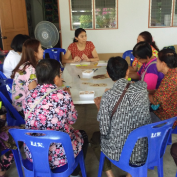
Participatory GIS
Participatory Geographic Information Systems (PGIS) for Urban Environmental Assessments
This tool enables you to use maps as discussion tools for allowing different groups to share their knowledge of environmental issues and development options, helping to enhance understanding and improve decision making and outcomes.
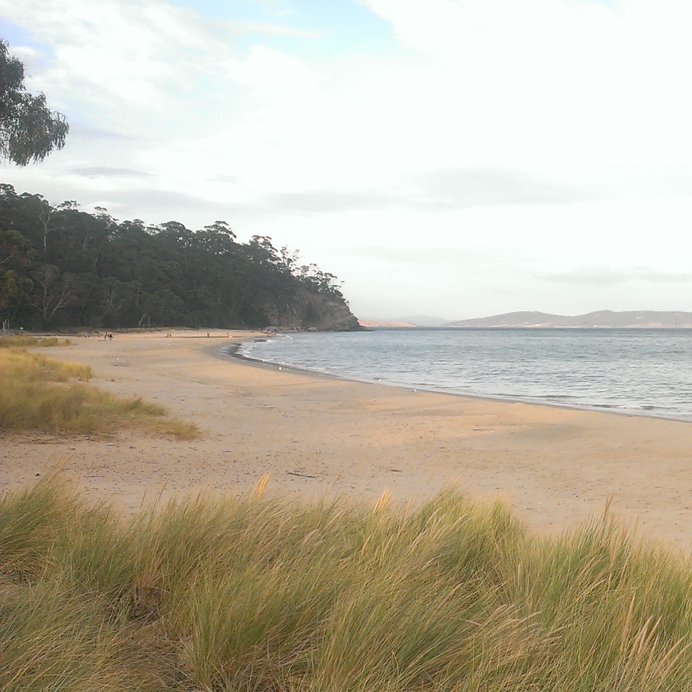
Steering local government in Australia towards better informed long-term coastal adaptation decisions
This article presents key findings from two recent studies that guide local governments towards flexible and robust coastal adaptation planning that addresses both social and physical impacts.
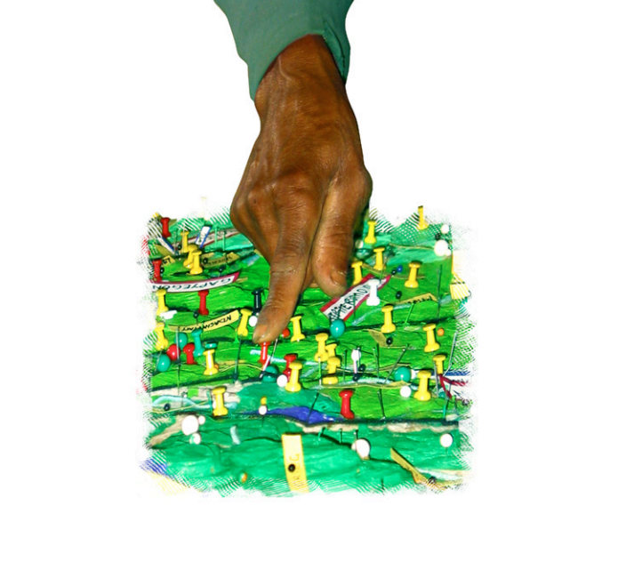
Participatory 3-Dimensional Modelling: Guiding Principles and Applications
Participatory 3D modelling (P3DM) is a participatory mapping method integrating indigenous spatial knowledge with elevation data to produce stand-alone, scaled, and geo-referenced 3D models.
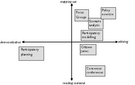
How to involve stakeholders
Stakeholder participation can be used to democratise science and empower citizens, to inform policy making and to advise decision-making processes.