Mathematics
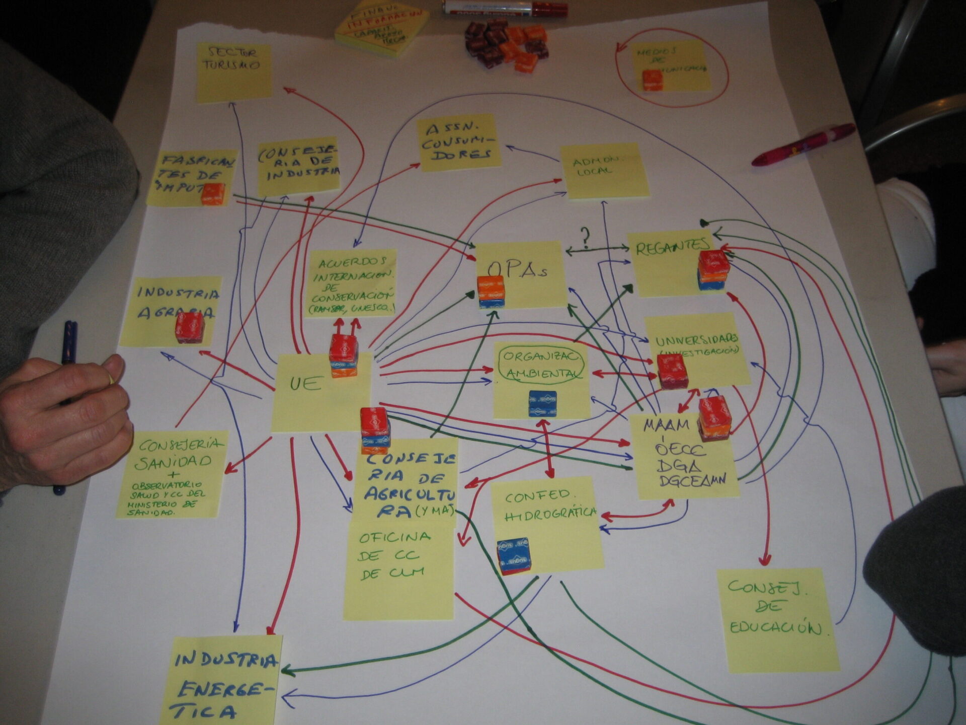
Describing the characteristics of a social network for conducting mapping exercises
Social network mapping is used to help identify stakeholders in climate adaptation planning.
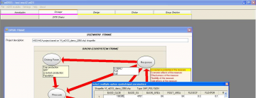
mDSS
mDSS is a decision support system for natural resources management based on the DSPIR framework
How do I find latitude and longitude for the location of my case study?
Guide to finding the latitude and longitude for the location of your case study.
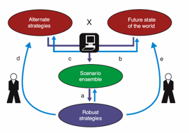
Robust Decision Making: XLRM framework
RAND corporation has been developing a tool to carry out robust decision making as an example of computational multi-scenario simulation.
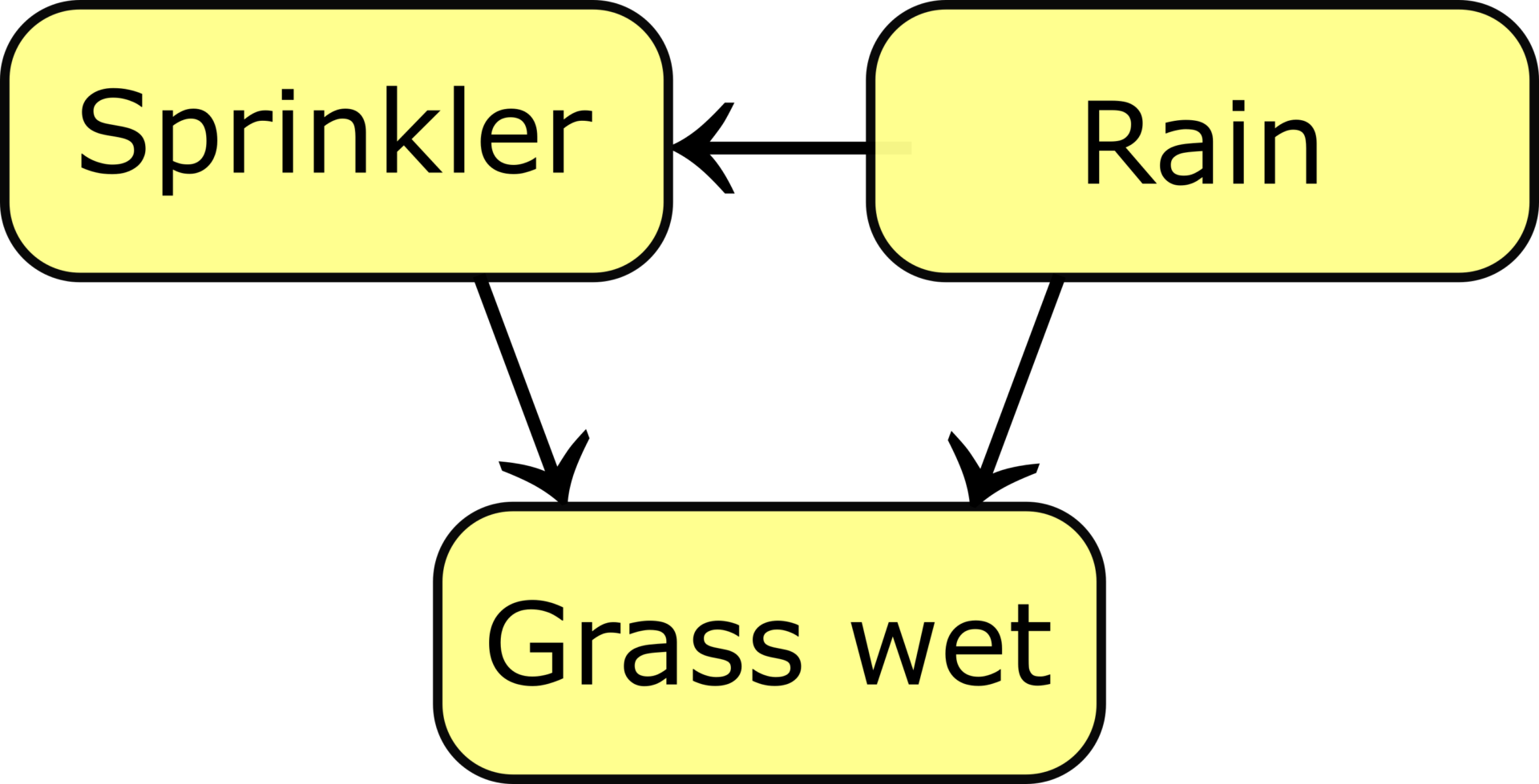
Bayesian network
Bayesian networks are a graphical technique to model complex problems involving uncertain knowledge and uncertain impacts of causes.