hazard mapping analysis
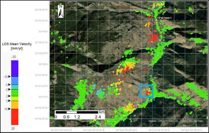
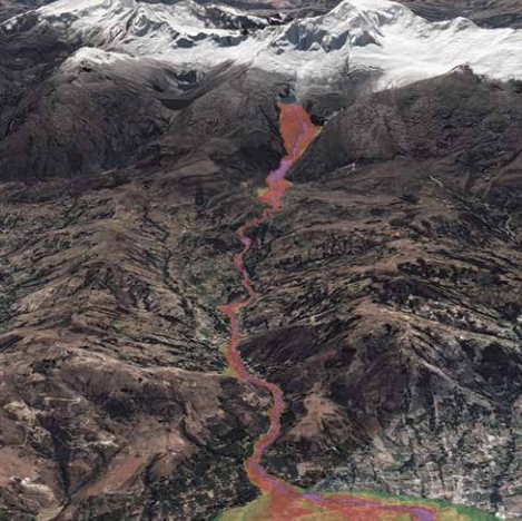
SCA-Himalayas project-Landslide analysis with radar data in the Indian Himalayas
Learn about the SCA-Himalayas project which is addressing climate risks in the mountainous context, including landslides, floods and changes in water resource availability.
Assessment of Glacier and Permafrost Hazards in Mountain Regions: Technical Guidance Document
This technical guidance document provides a structured and comprehensive approach to hazard assessment underpinned by latest scientific understanding. It has been produced as a resource for international and national agencies, responsible authorities and private companies.
Participatory Assessment of Climate and Disaster Risk
The PACDR is a Hazard Vulnerability Capacity Assessment Tool, designed to conduct participatory community assessments providing the basis for effective and sustainable adaptation strategies.
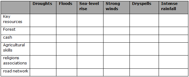
Current Vulnerability Mapping
This tool helps to establish the degree and range of impacts of different climate hazards on resources, livelihoods and social groups
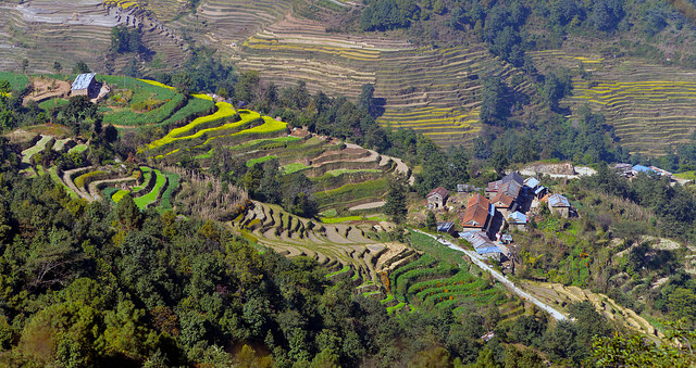
Mapping Climatic Hazards in Nepal
This article describes a process used for mapping climatic hazards in Nepal.


