Network mapping

MapStakes: A tool for co-creation processes
This is a five-step tool that helps users define system boundaries; identify, map and involve stakeholders; and monitor the engagement process.
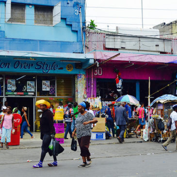
From the ground up: How communities can collaborate to drive local adaptation and influence the national agenda
This analysis from CDKN identifies a series of approaches to help community-level organisations to increase climate resilience in the Caribbean.
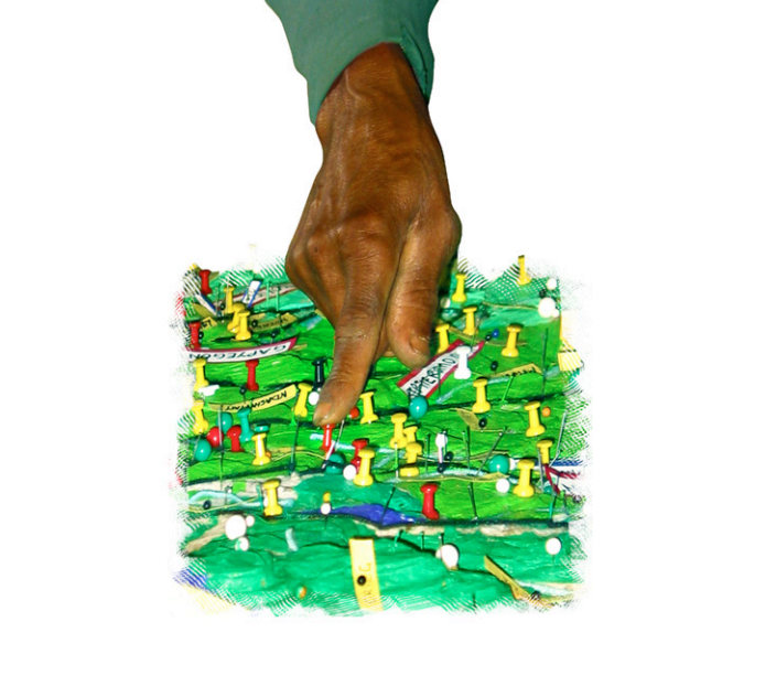
Participatory 3-Dimensional Modelling: Guiding Principles and Applications
Participatory 3D modelling (P3DM) is a participatory mapping method integrating indigenous spatial knowledge with elevation data to produce stand-alone, scaled, and geo-referenced 3D models.
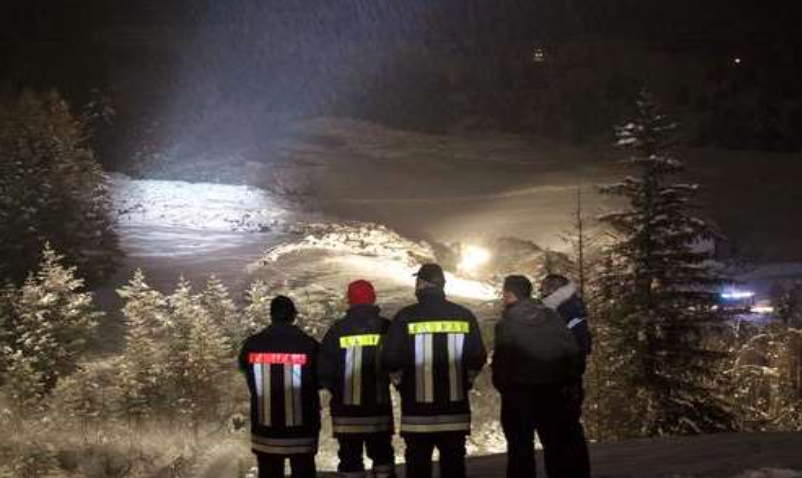
Mapping of social networks as a measure of social resilience of agents
Our social network maps provide a model of the links between significant individuals involved in key stages of the disaster planning, response and recovery phases.
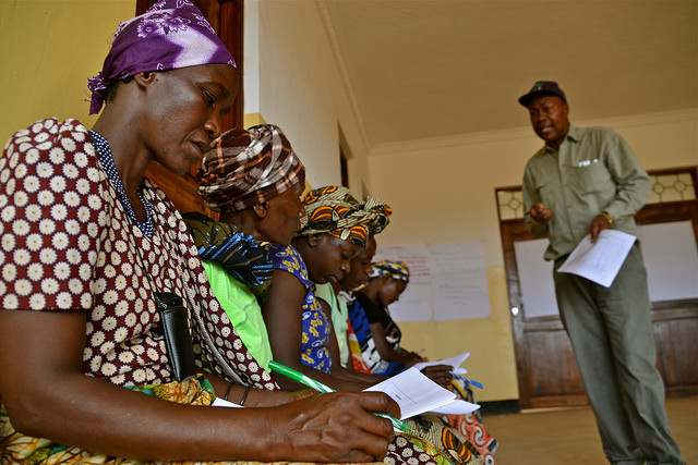
Using communicators to reach farmers with climate information services
A collaborative project trains communicators to disseminate climate information services and advisories to smallholder farmers.
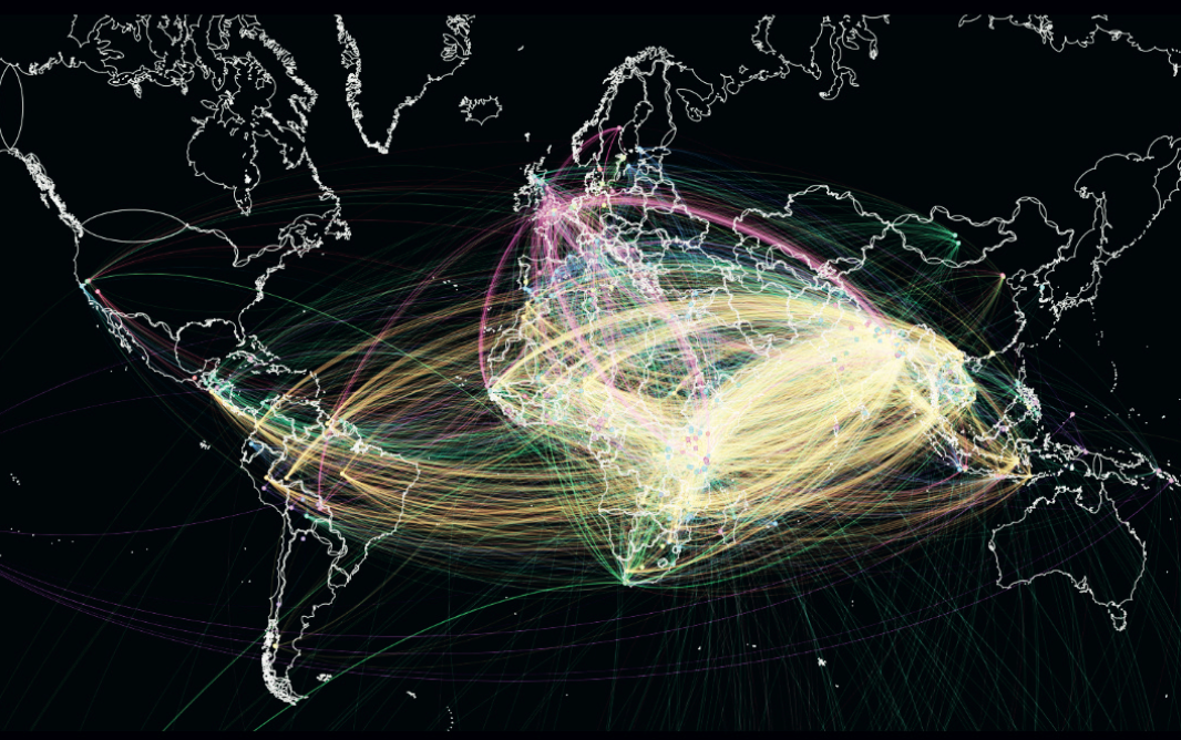
Visualizing connections: Mapping the landscape of adaptation research and practice through weADAPT
This working paper describes a collaborative project to visually map climate change adaptation research and networks based on semantic tagging in weADAPT.
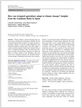
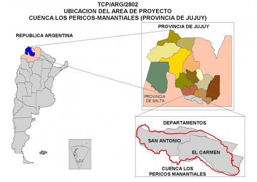
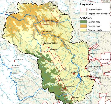
How can irrigated agriculture adapt to climate change? Insights from the Guadiana Basin in Spain
This paper illustrates a systematic analysis of climate change adaptation in the Guadiana irrigation farming region.
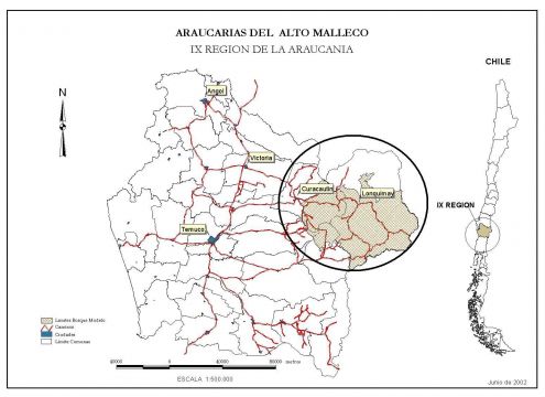
Análisis del contexto socio-institucional Bosque Modelo Araucarias de Alto Malleco
Este artículo sintetiza los resultados de un estudio que analiza el contexto socio-institucional en el Bosque Modelo Araucarias de Alto Malleco en los territorios de Lonquimay y Curacautín de Chile